Printable star map gift
A sample you can keep
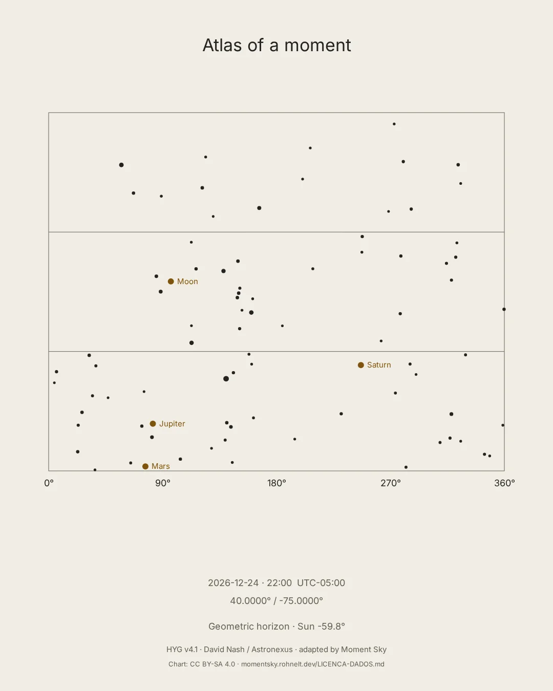
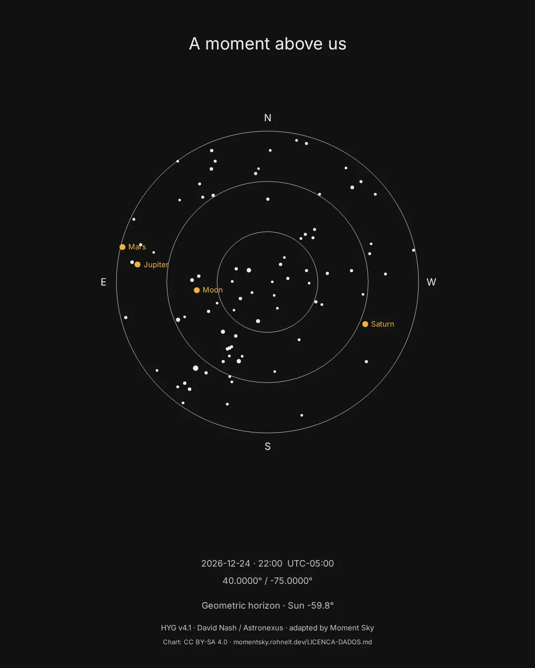
The example uses 24 December 2026 at 22:00, UTC−05:00, latitude 40°, longitude −75°. These are demonstration coordinates. The chart shows a calculated sky, not a photograph or a forecast of weather and visibility.
Prepare your gift
- Choose the date and local time of the moment. If you only know the day, choose an approximate time and tell the recipient it is approximate.
- Find the latitude and longitude of the event location. Use the correct time zone for that date, including any daylight saving change.
- Open the creator, enter those values and compare Horizon and Atlas. Check the date and chart summary before paying.
- Choose the paper size for your frame. Print at actual size and turn off browser headers and footers.
Paper and framing
Use A4 or US Letter for a home print. Try plain paper first to check margins. Matte paper reduces reflections; check your printer’s supported paper weight. Horizon uses more dark ink; Atlas has a light background. Larger prints need the paid printable export, rather than an enlarged preview.
What the chart means
The horizon and celestial positions depend on the instant and coordinates. The calculation does not recreate buildings, clouds or light pollution. Moment Sky covers 2000–2050. A guessed birth time cannot produce an exact birth sky.